

SEARCH
Project
ArchaeDyn – ACI Espaces et Territoires
Project Duration: 1 January 2005–31 December 2007
Project Leader: Francois Favory, Université de Franche-Comté (France)
Project
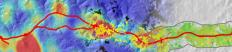
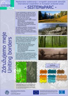
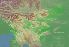
Interreg III B - SISTEMaPARC
Project Duration: 1 January 2004–31 December 2006
Project Leader: Elmar Csaplovics, Universitiy of Dresden (Germany)


Project
Mundo Maya Sustainable Tourism Program
Project Duration: 1 January 2004–31 December 2005
Project Leader: Vince Gaffney, University of Birmingham (GB)

Project
Aquadapt - WP 2 and 5
Project Duration: 1 January 2002–31 December 2004
Project Leader: Andrej Mihevc (IZRK, ZRC SAZU)

Project
ArchaeDyn II – Spatial dynamics of territories from Prehistory to Middle Age
Project Duration: 1 January 2009–31 December 2011
Project Leader: François Favory, Ph.D., and Laure Nuninger, Ph.D., both University of Franche-C…